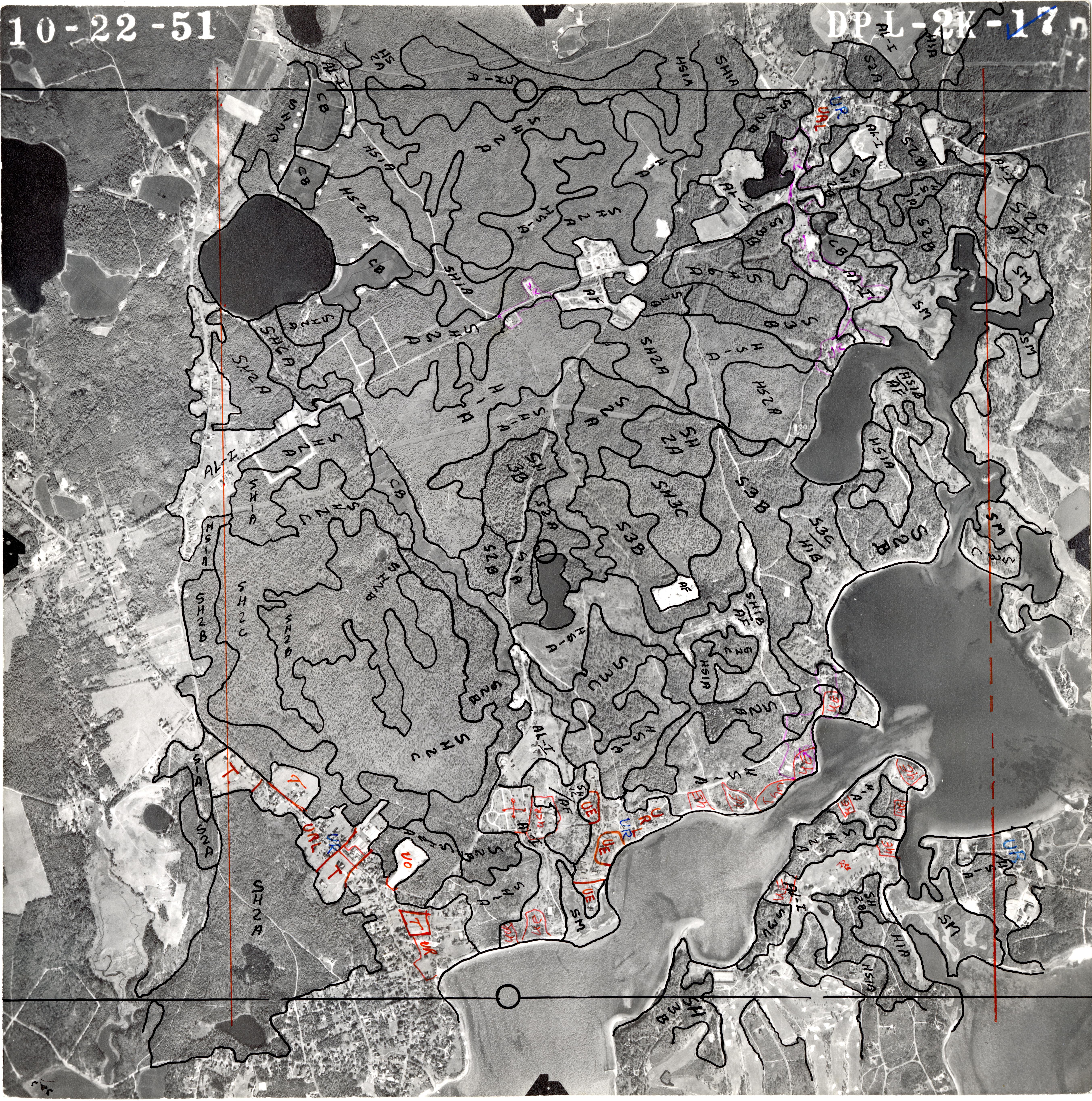
Aerial Photo of Barnstable Town, MA (dpl-2k-17), 1951
- Title:
- Aerial Photo of Barnstable Town, MA (dpl-2k-17), 1951
- Author:
- Massachusetts Cooperative Wildlife Research Unit
- Description:
-
Georeferenced black-and-white aerial photograph taken on October 22, 1951, of Barnstable Town (Barnstable County, MA), at an approximate scale of 1:20,000. The photo was analyzed as part of a statewide land-use study directed by William P. MacConnell, professor in the Department of Forestry and Wildlife Management at UMass Amherst. The inked photo was scanned and manually georeferenced in ArcGIS software against 2019 color orthoimagery from the U.S. Geological Survey. Coordinate system: NAD 1983 State Plane Massachusetts Mainland (EPSG 26986).
- Publisher:
- U.S. Department of Agriculture
- Date Issued:
- 1951-10-22
- Temporal Coverage:
- 1951
- Place:
- Barnstable Town, MA, Barnstable County, MA, and Massachusetts
- Resource Class:
- Imagery
- Resource Type:
- Aerial photographs
- Access:
- Public
- Rights:
-
Requests to publish, redistribute, or replicate this material should be addressed to Special Collections and University Archives, University of Massachusetts Amherst Libraries. For more information, see http://scua.library.umass.edu/services-at-scua/permissions/.
- File size:
- 90.9 MB
- More details at:
- https://credo.library.umass.edu/view/full/mufs190-1951-dpl2k17-i001